
Galleries
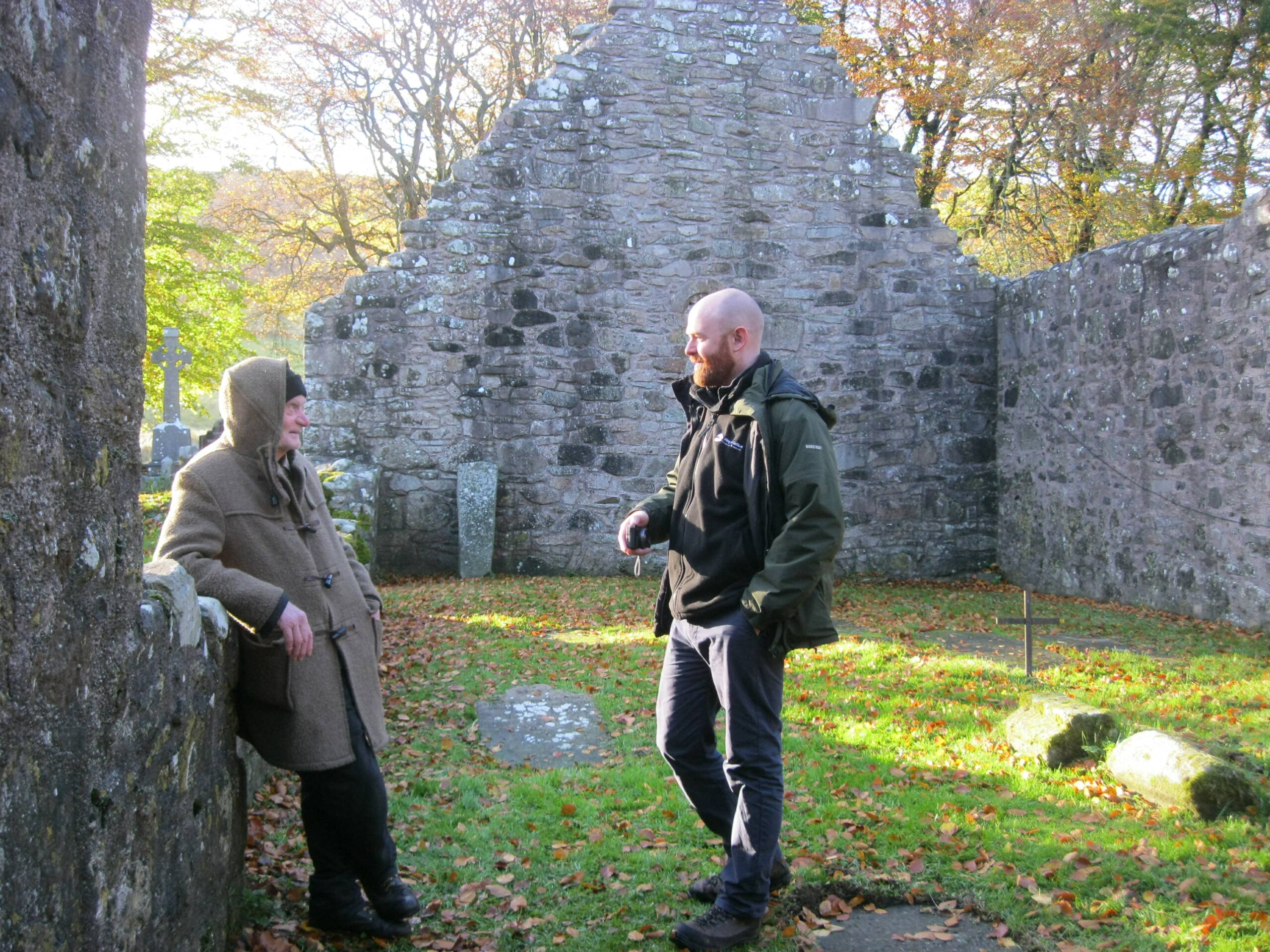
Built heritage surveys
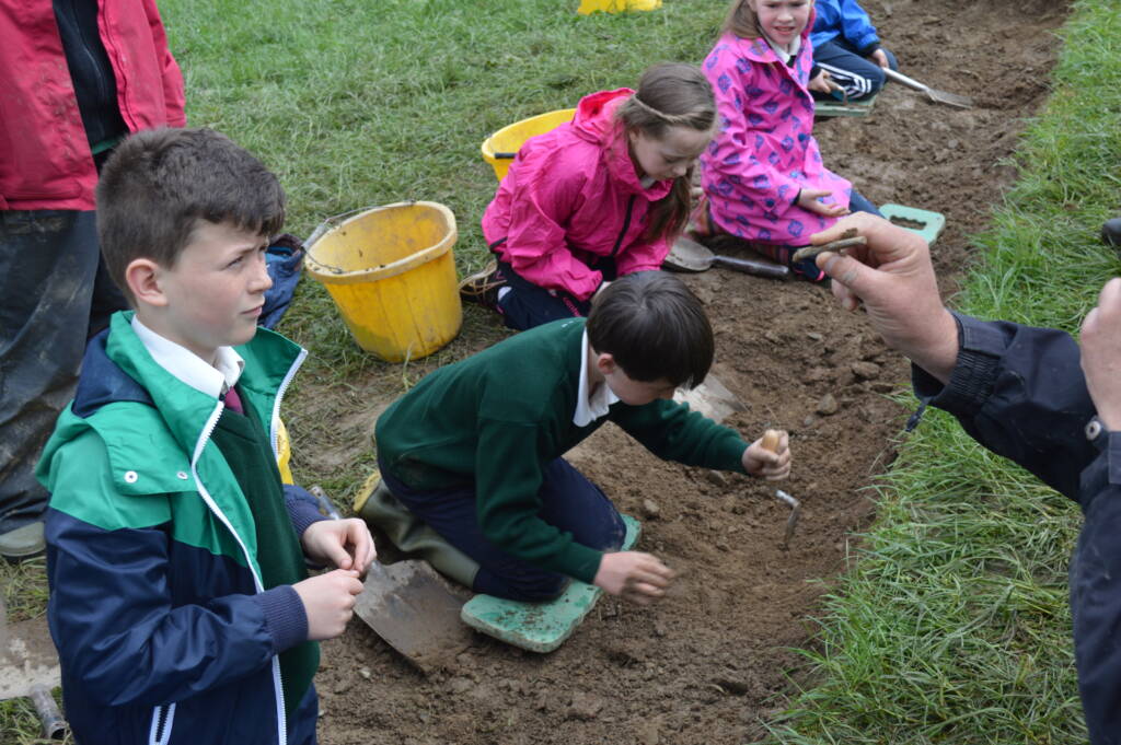
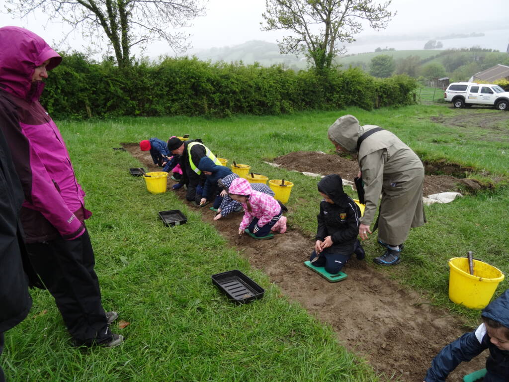
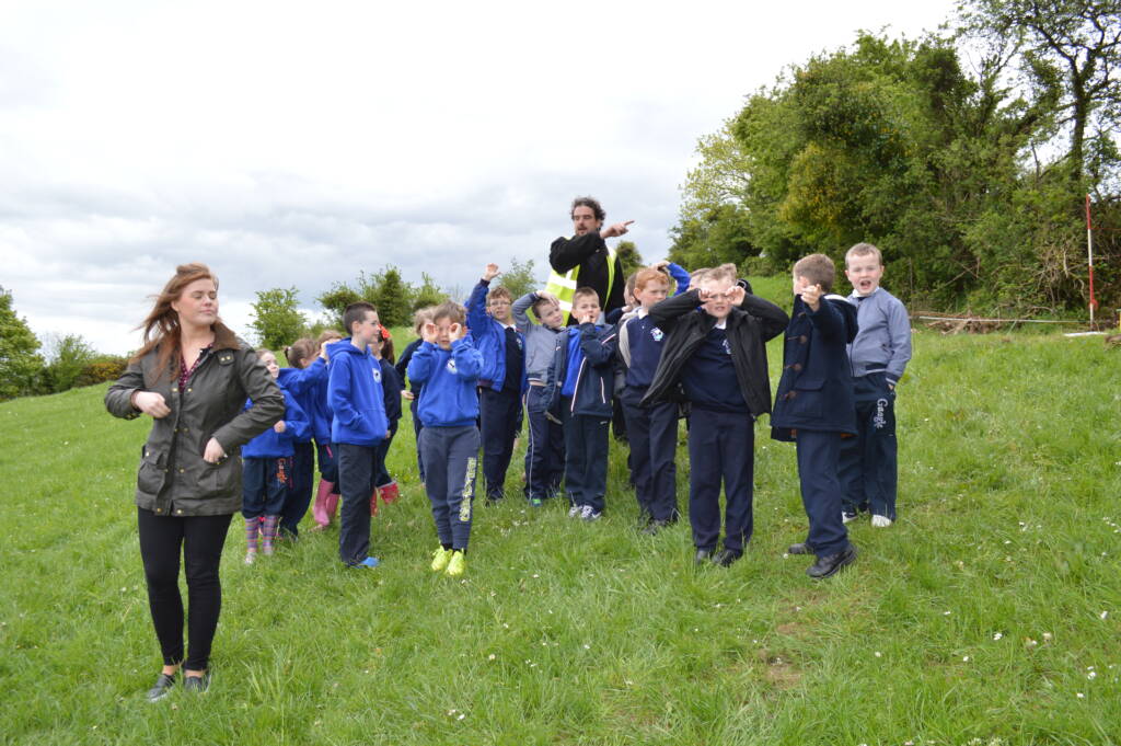
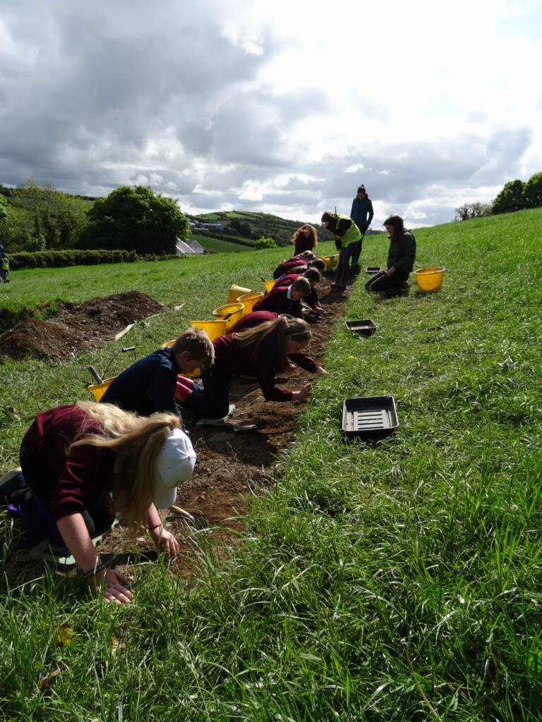
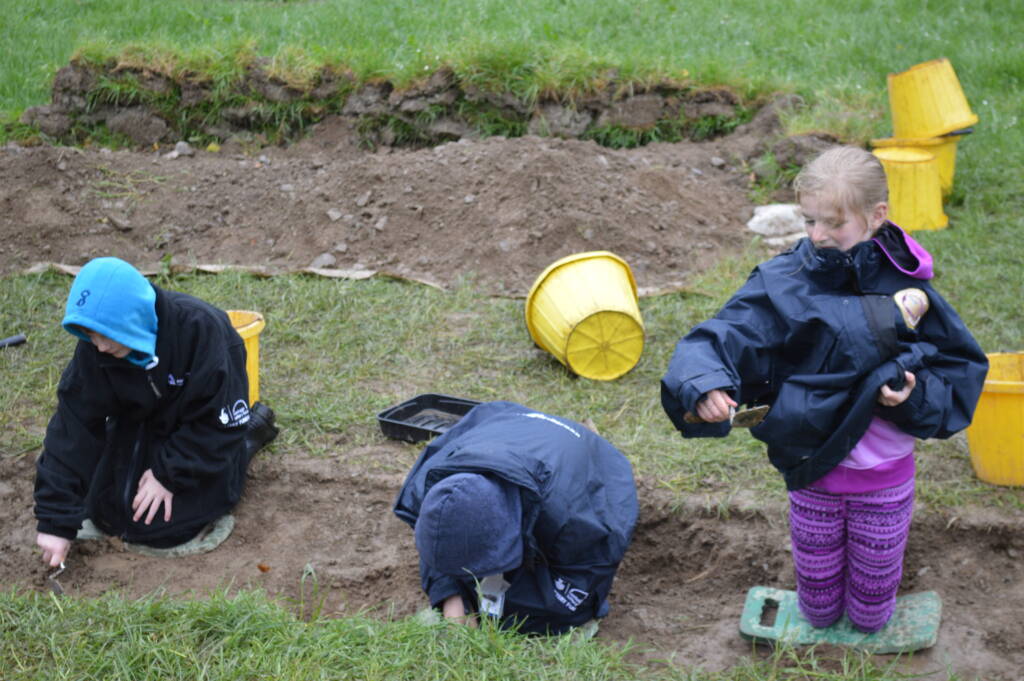
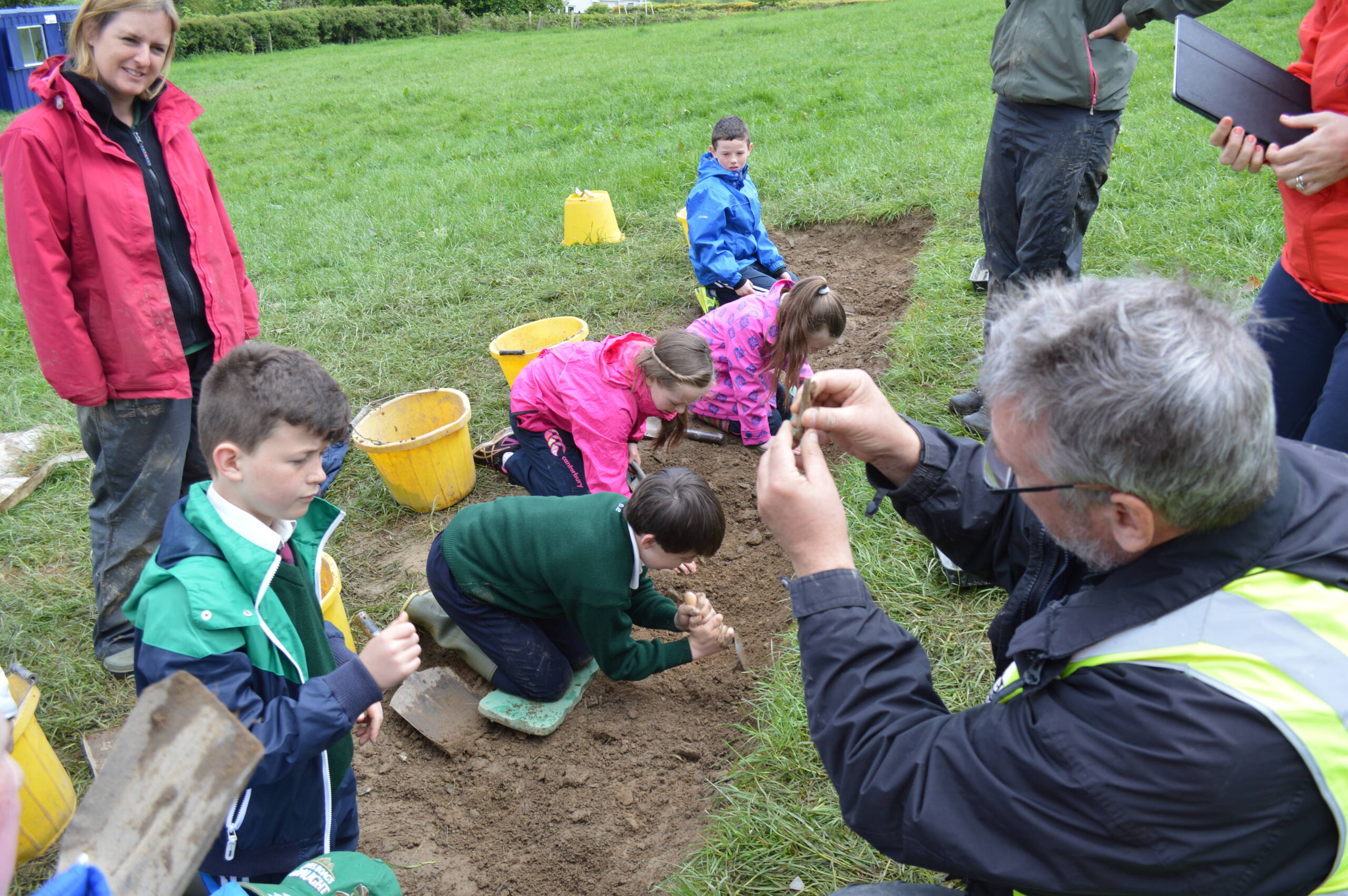
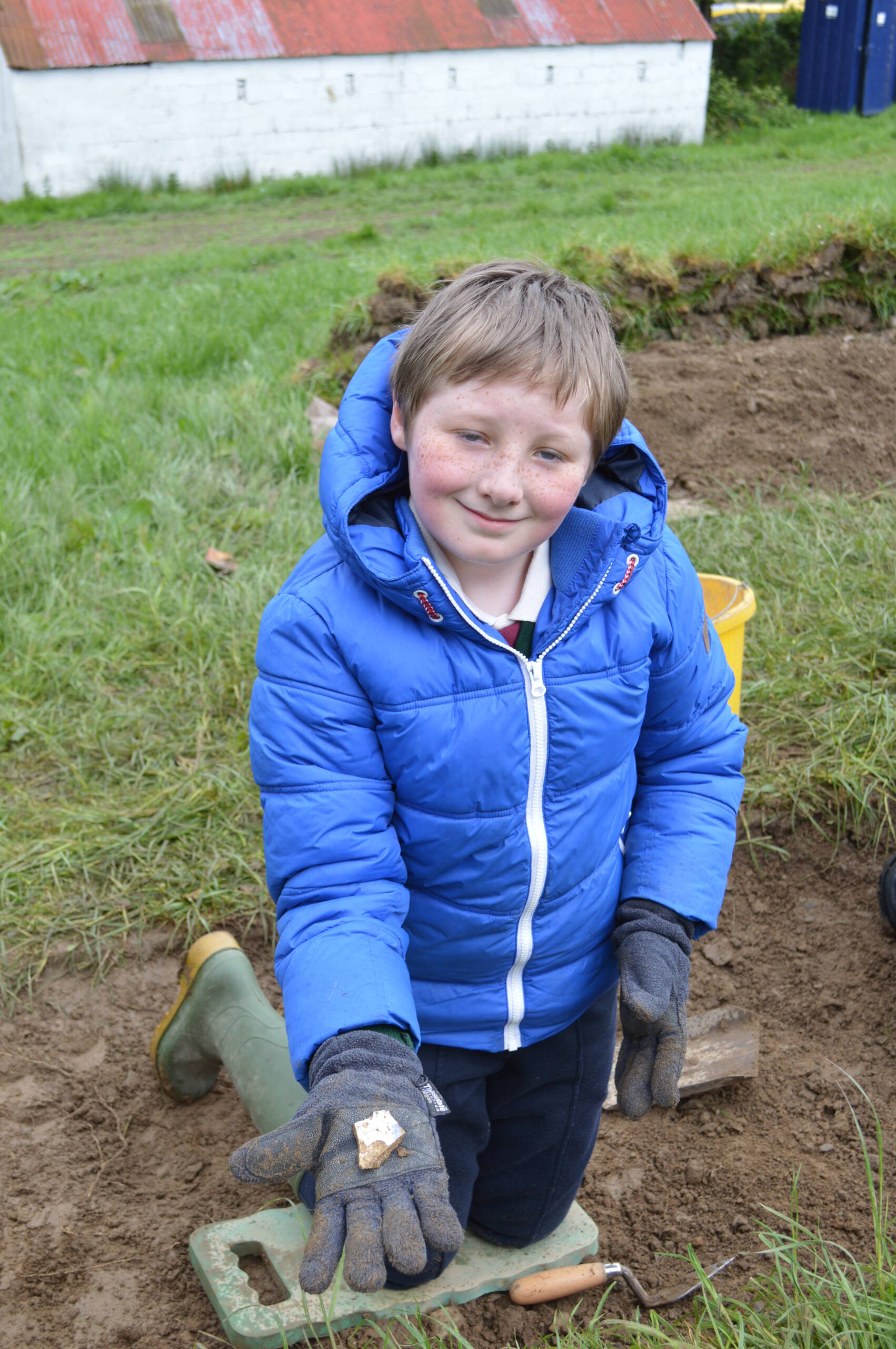
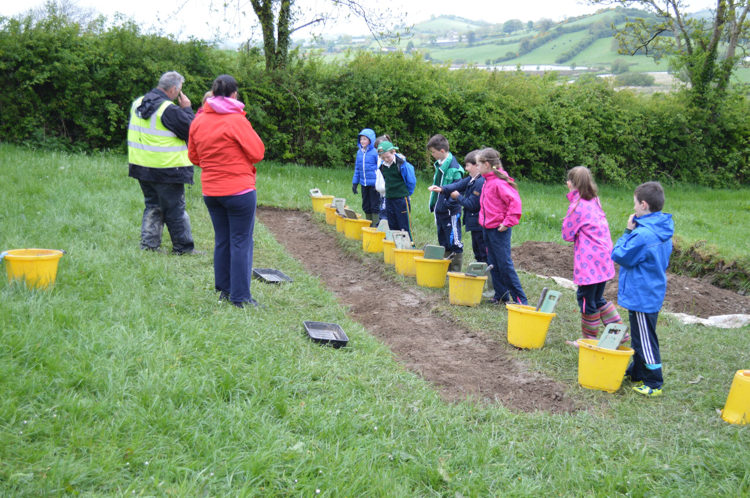
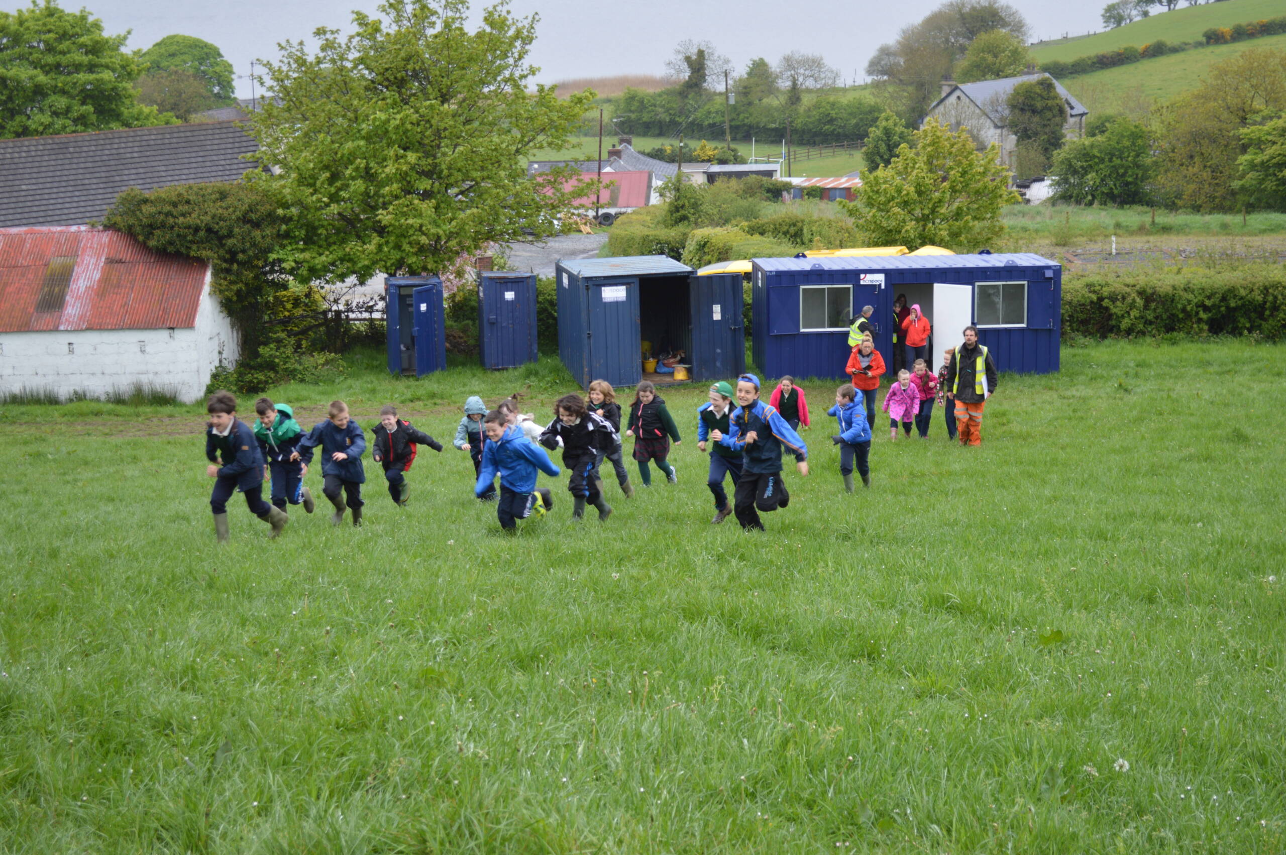
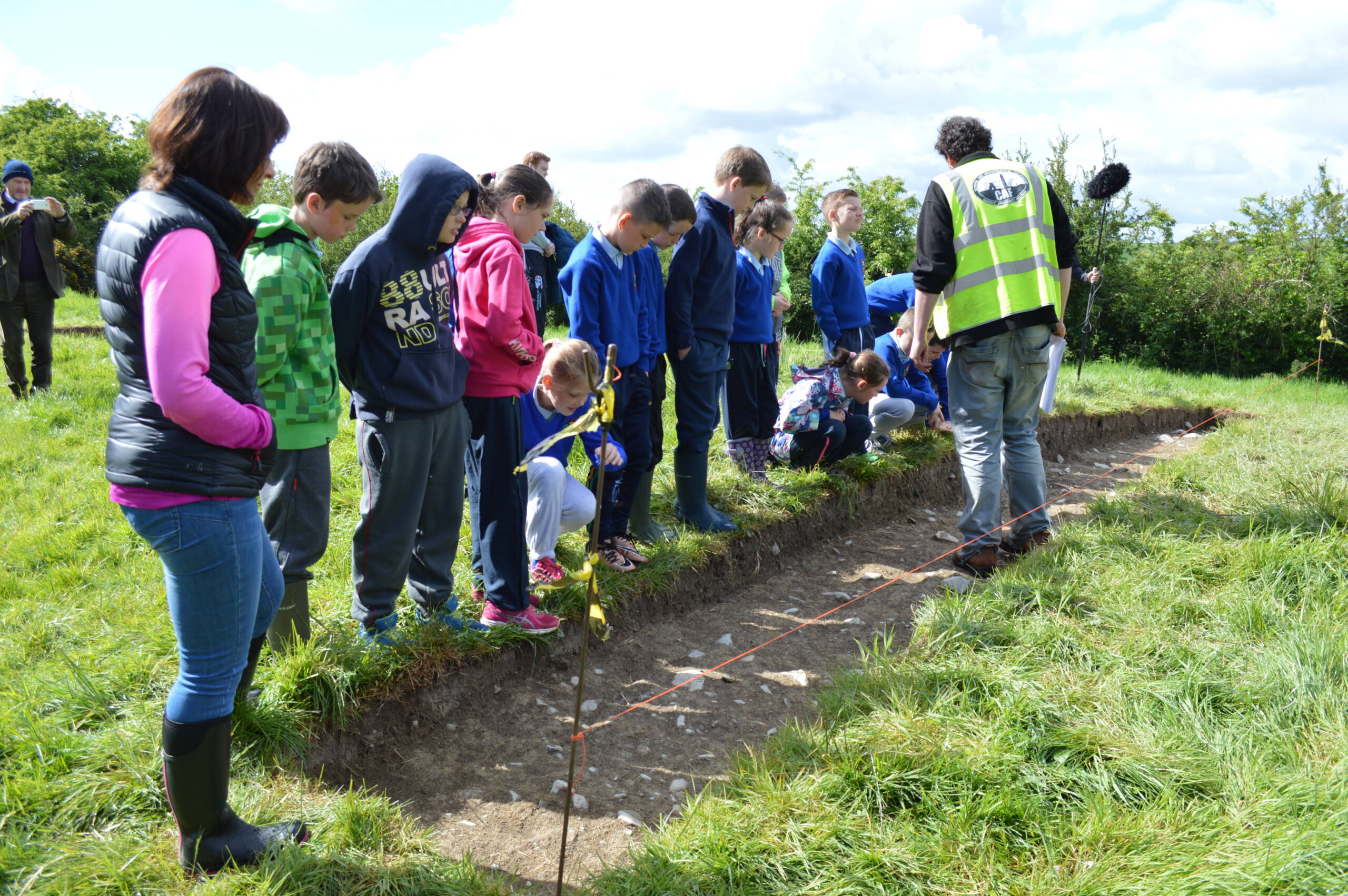
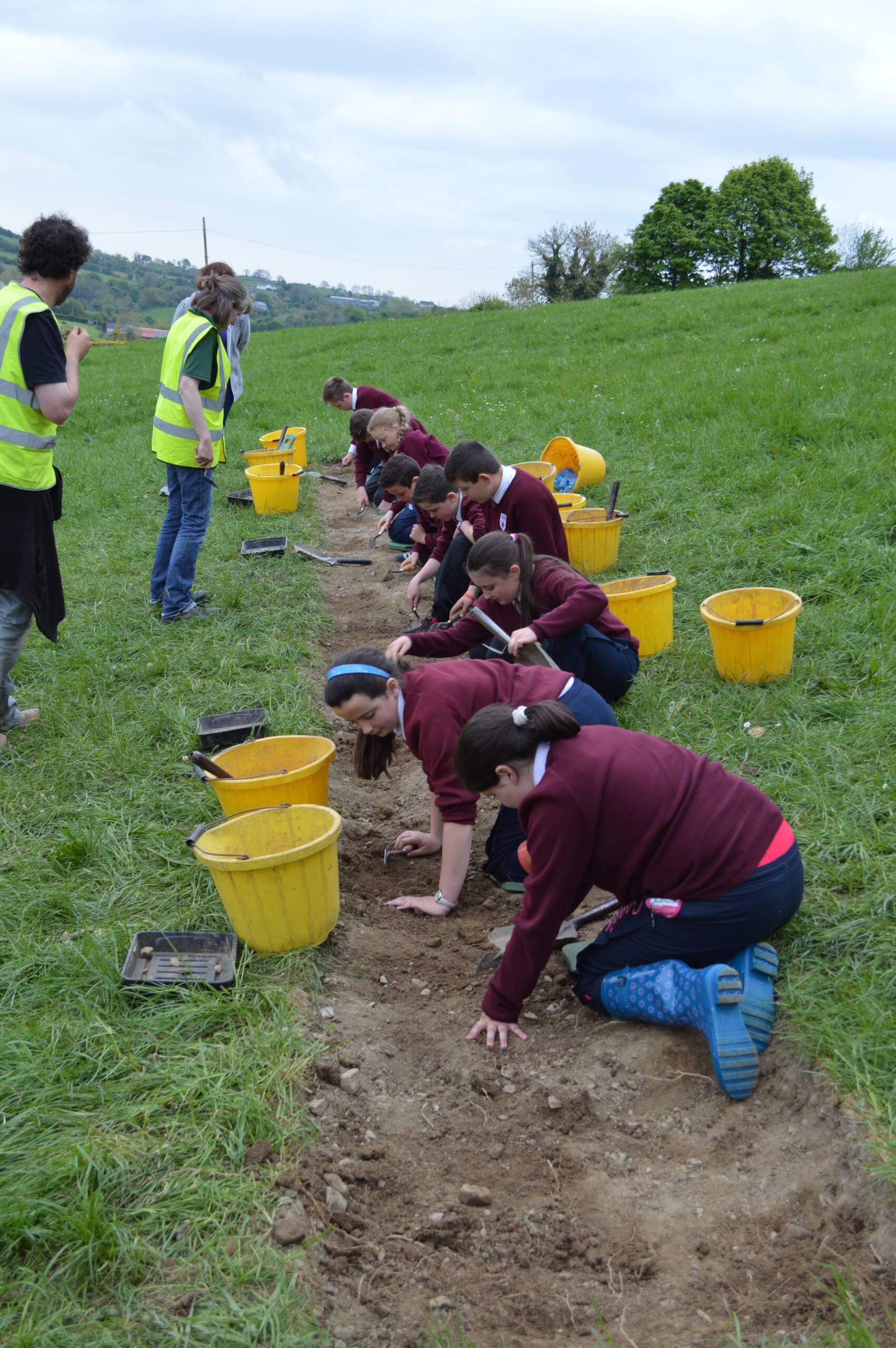
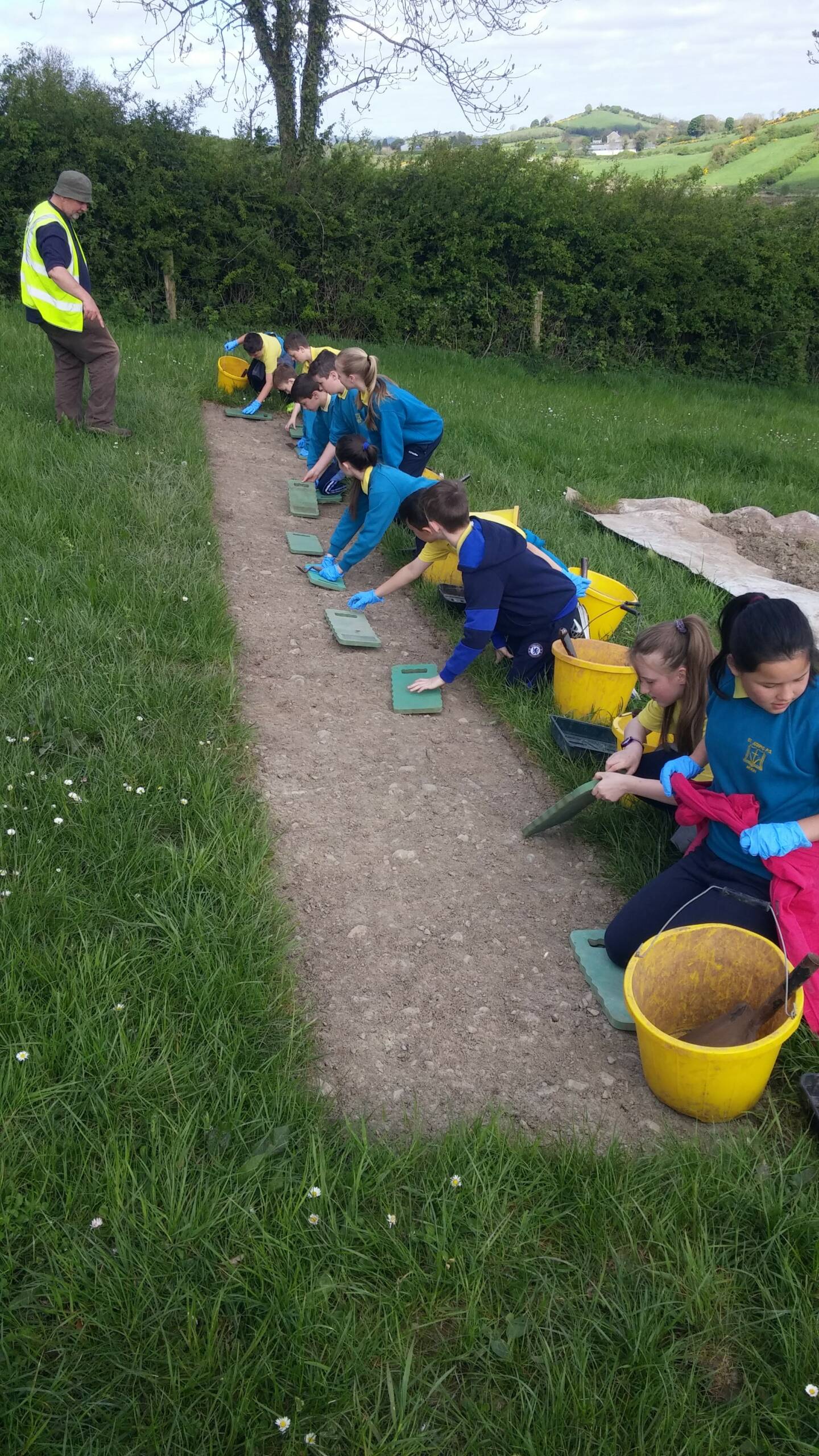
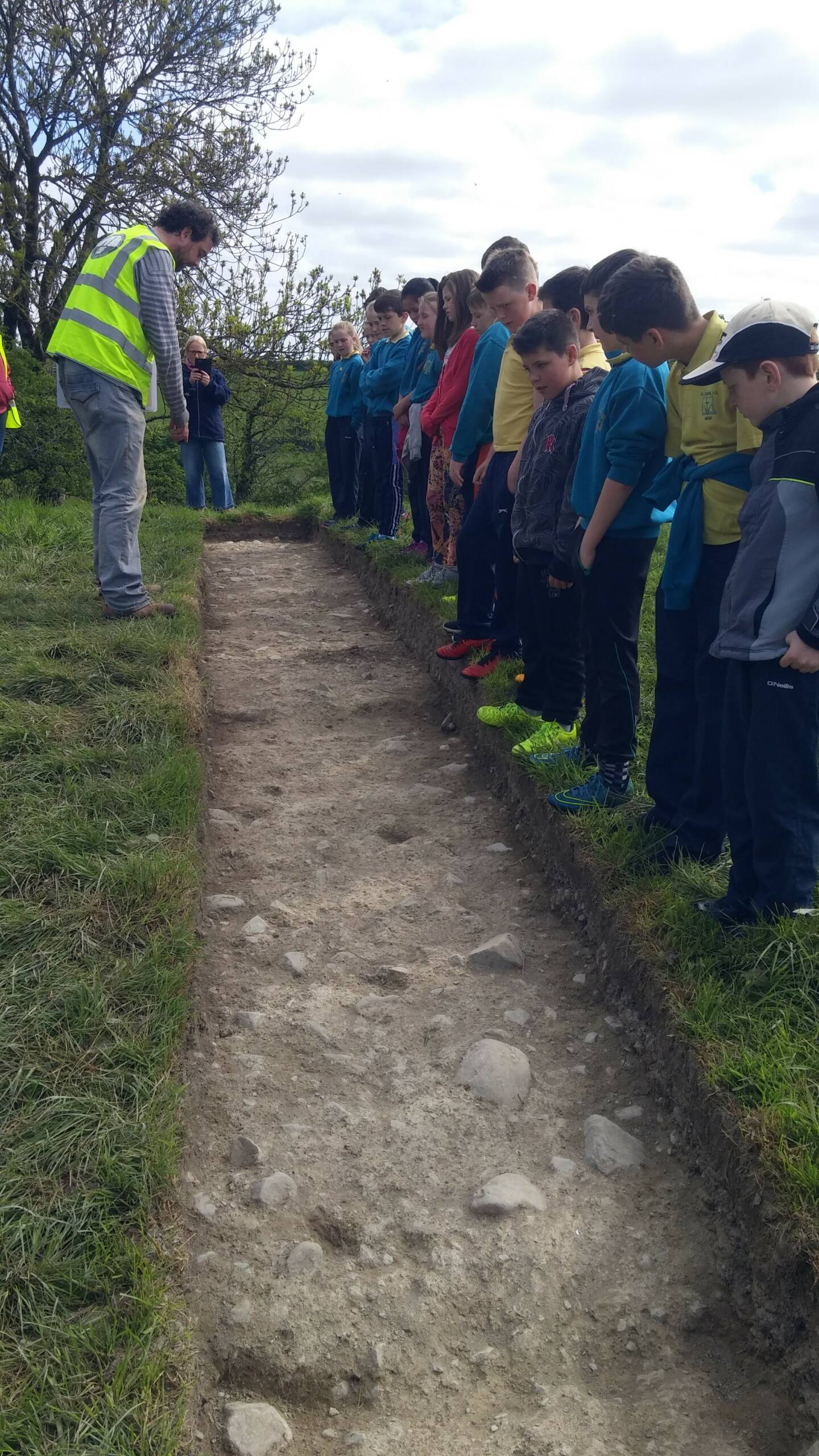
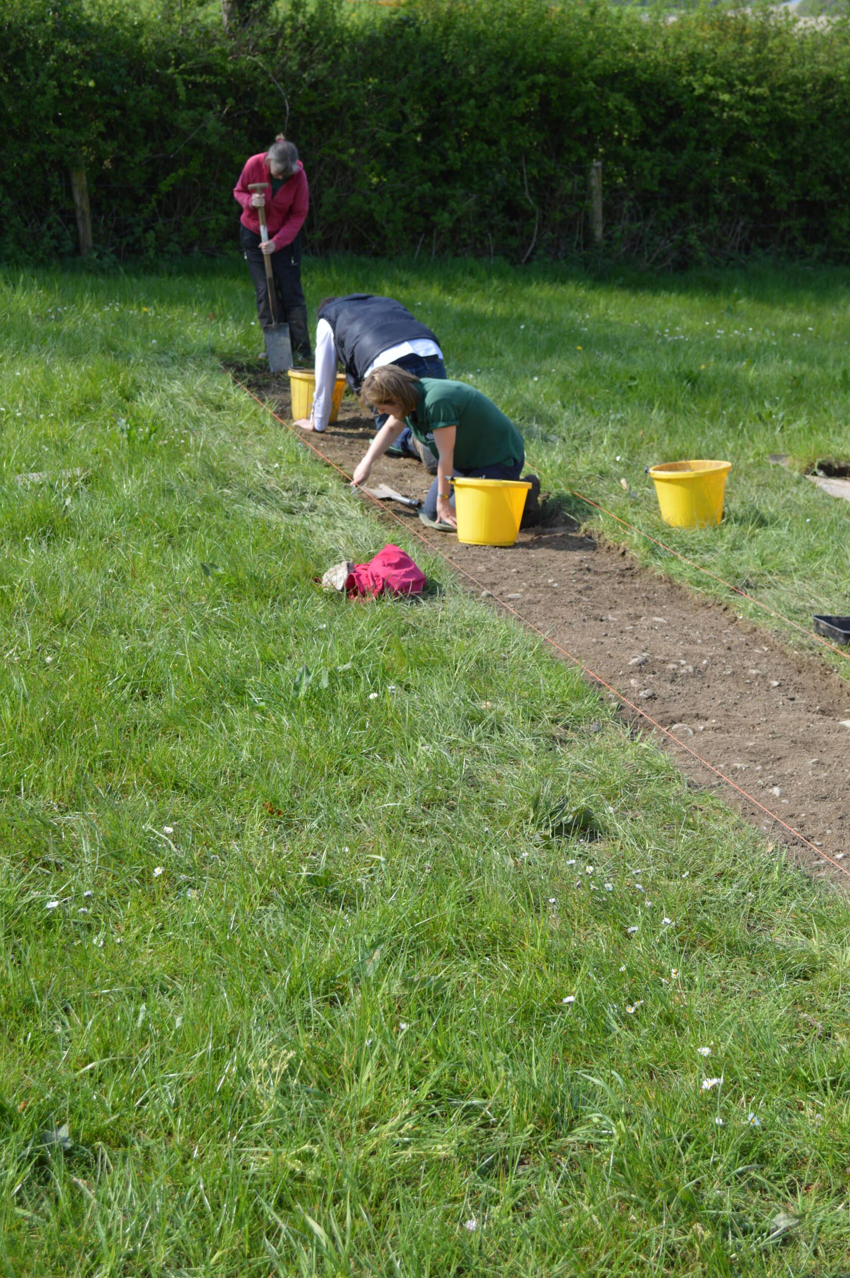
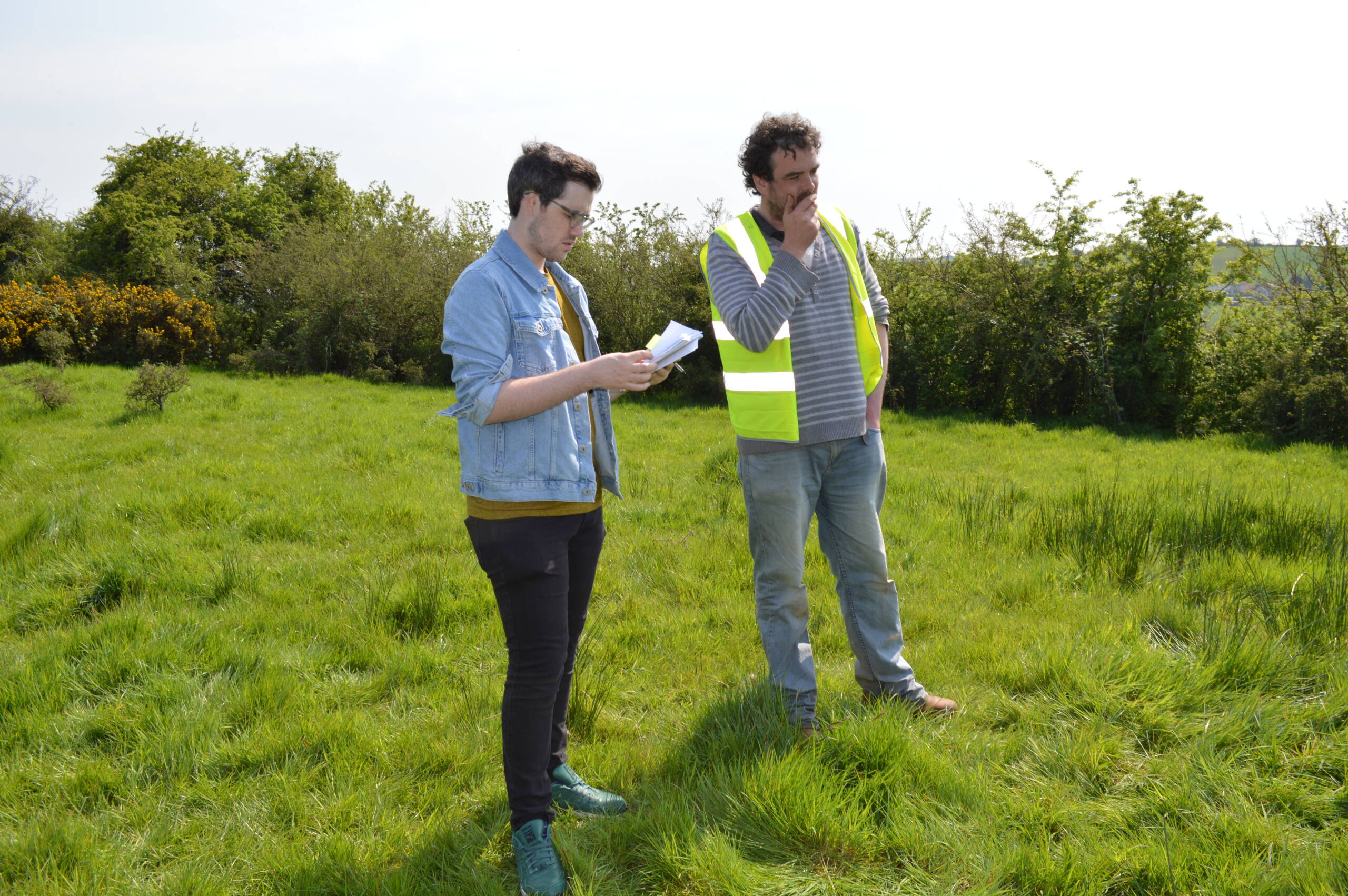
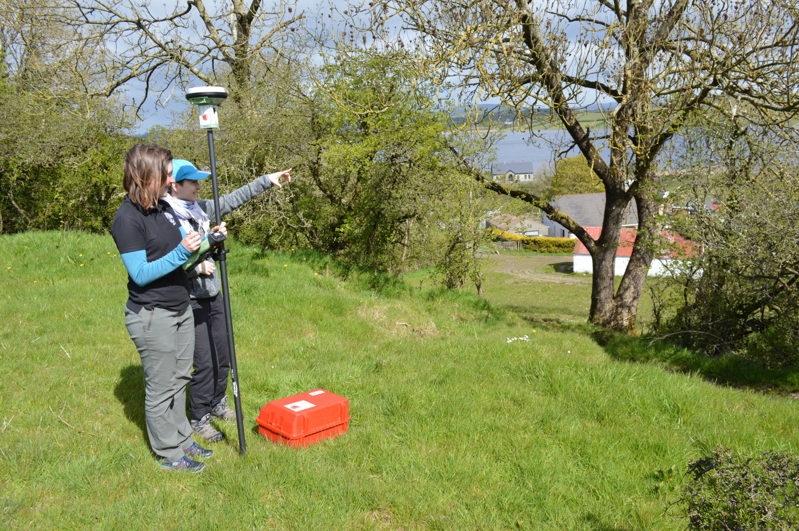
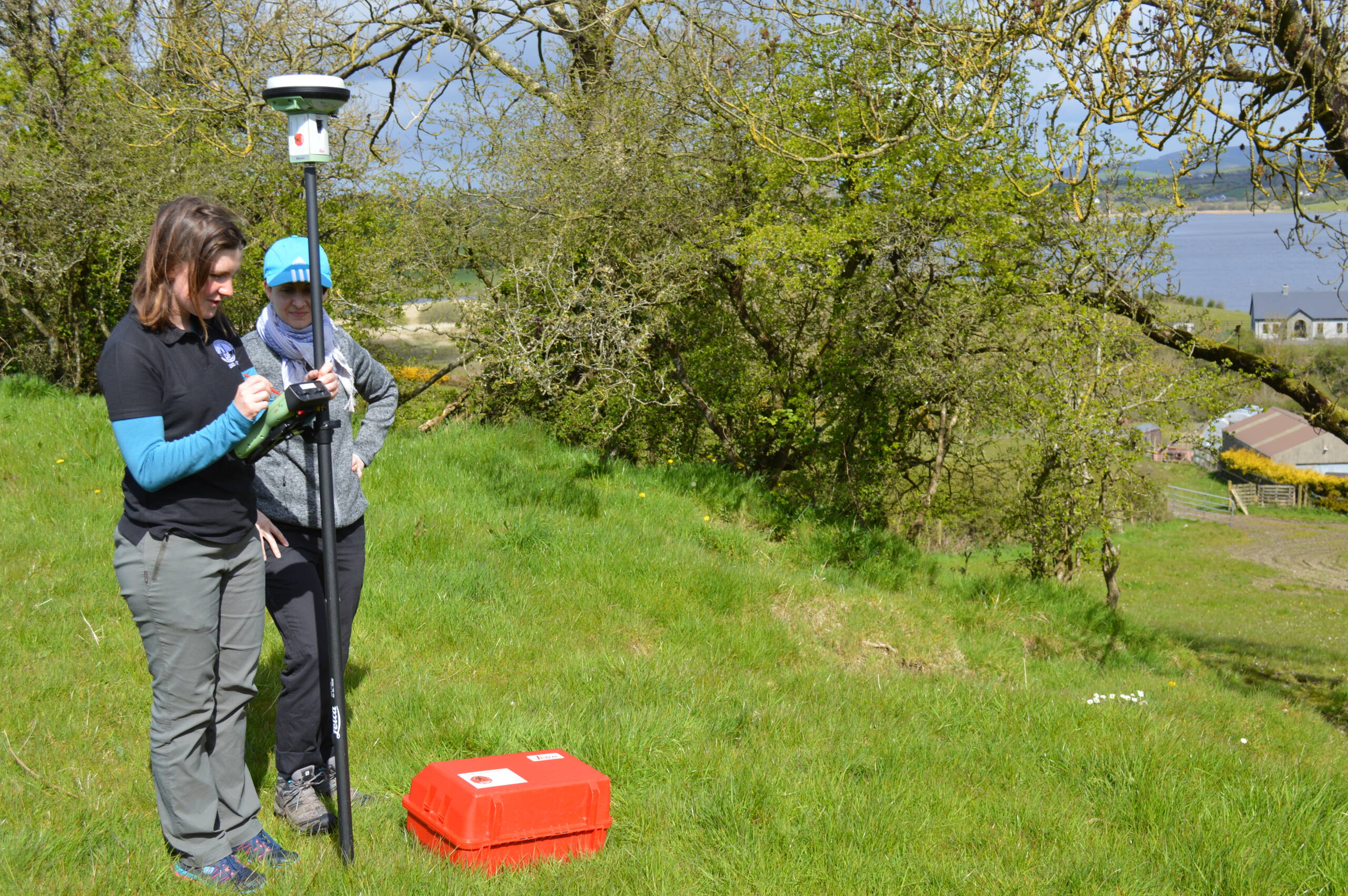
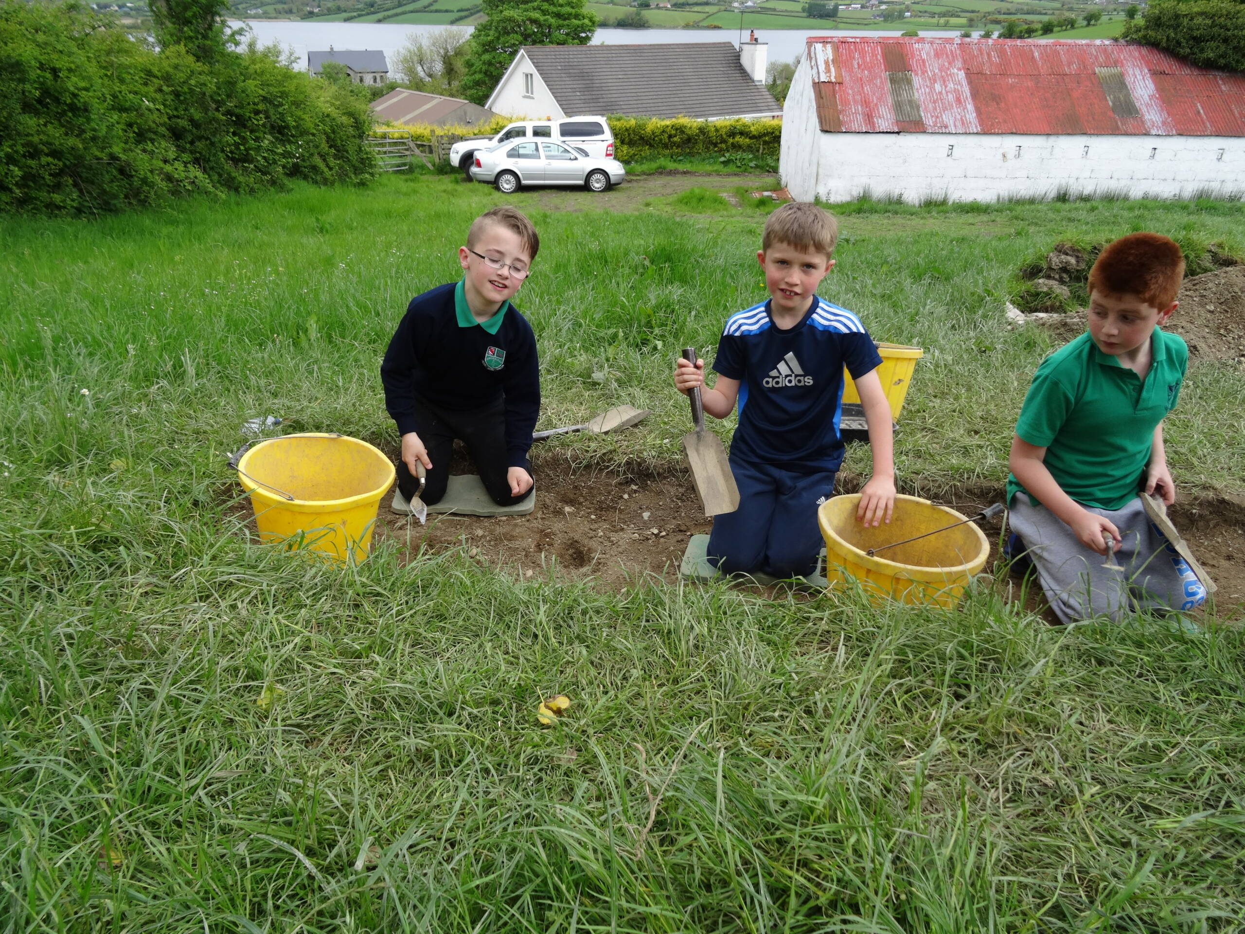
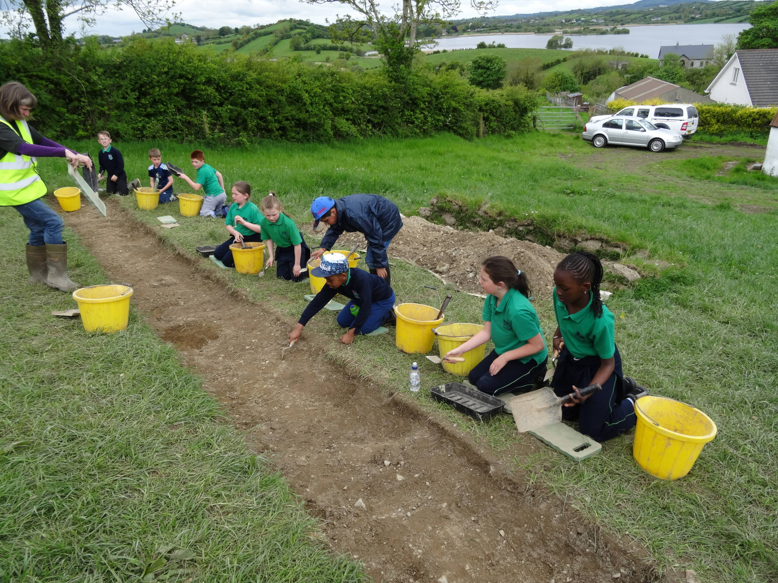
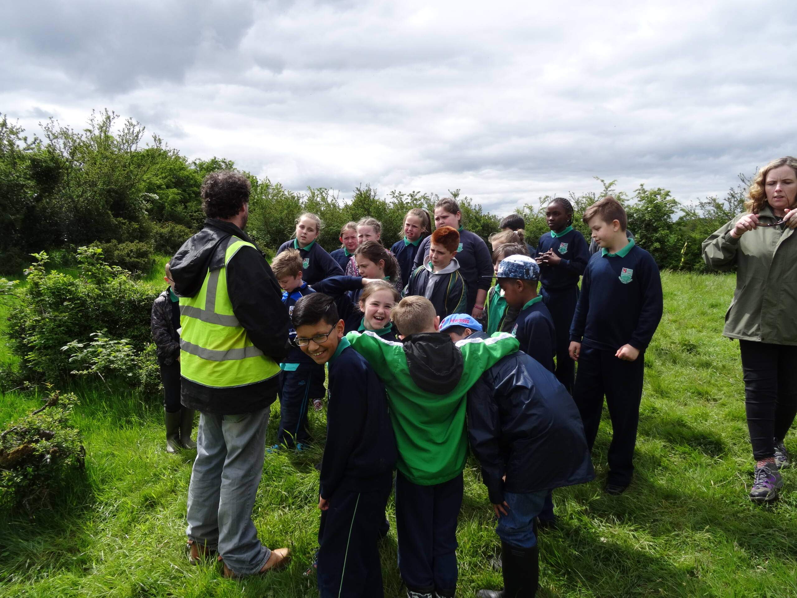
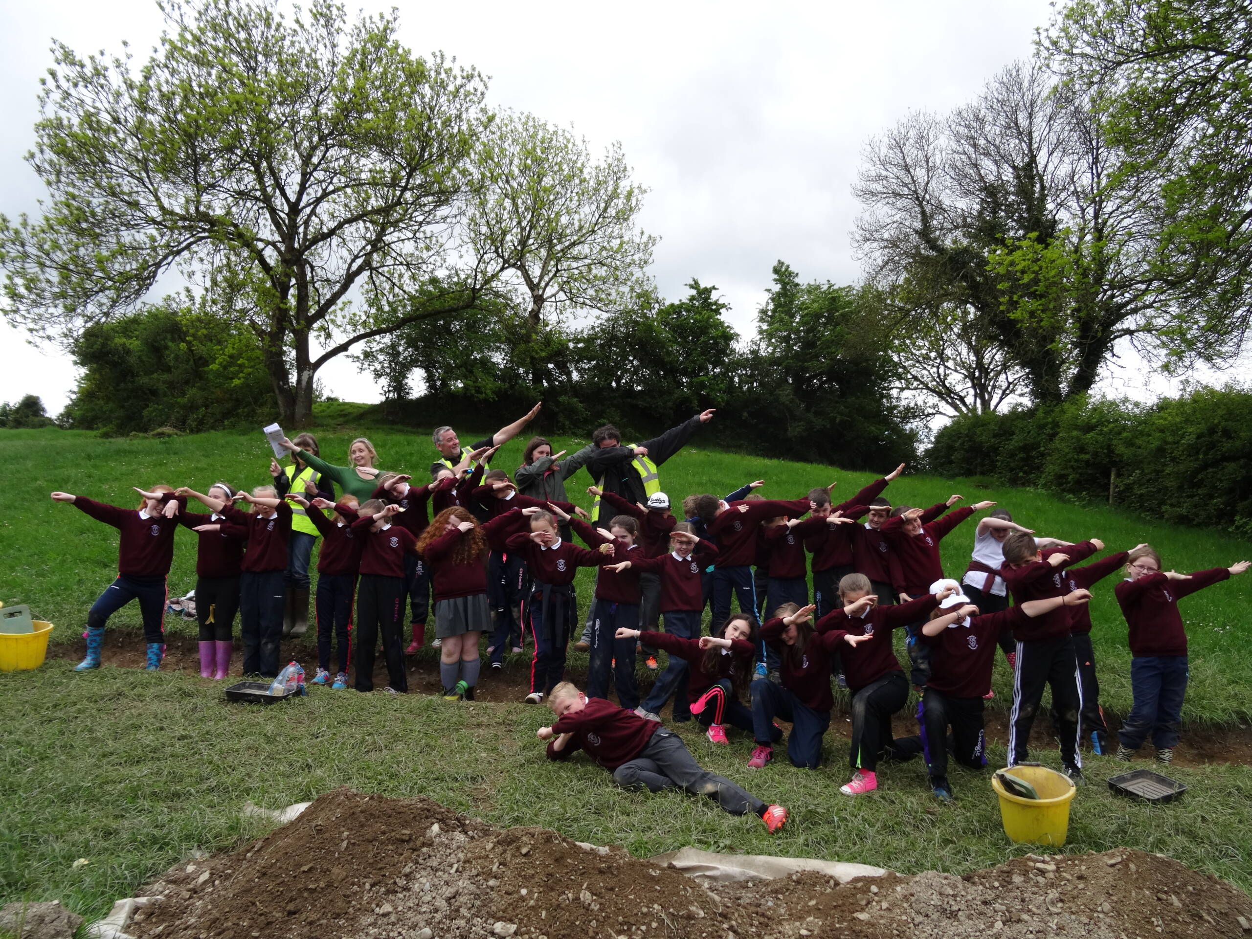
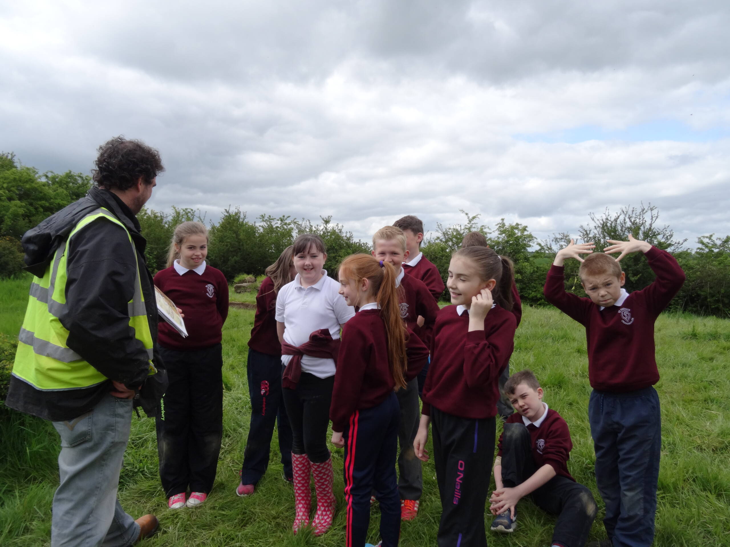
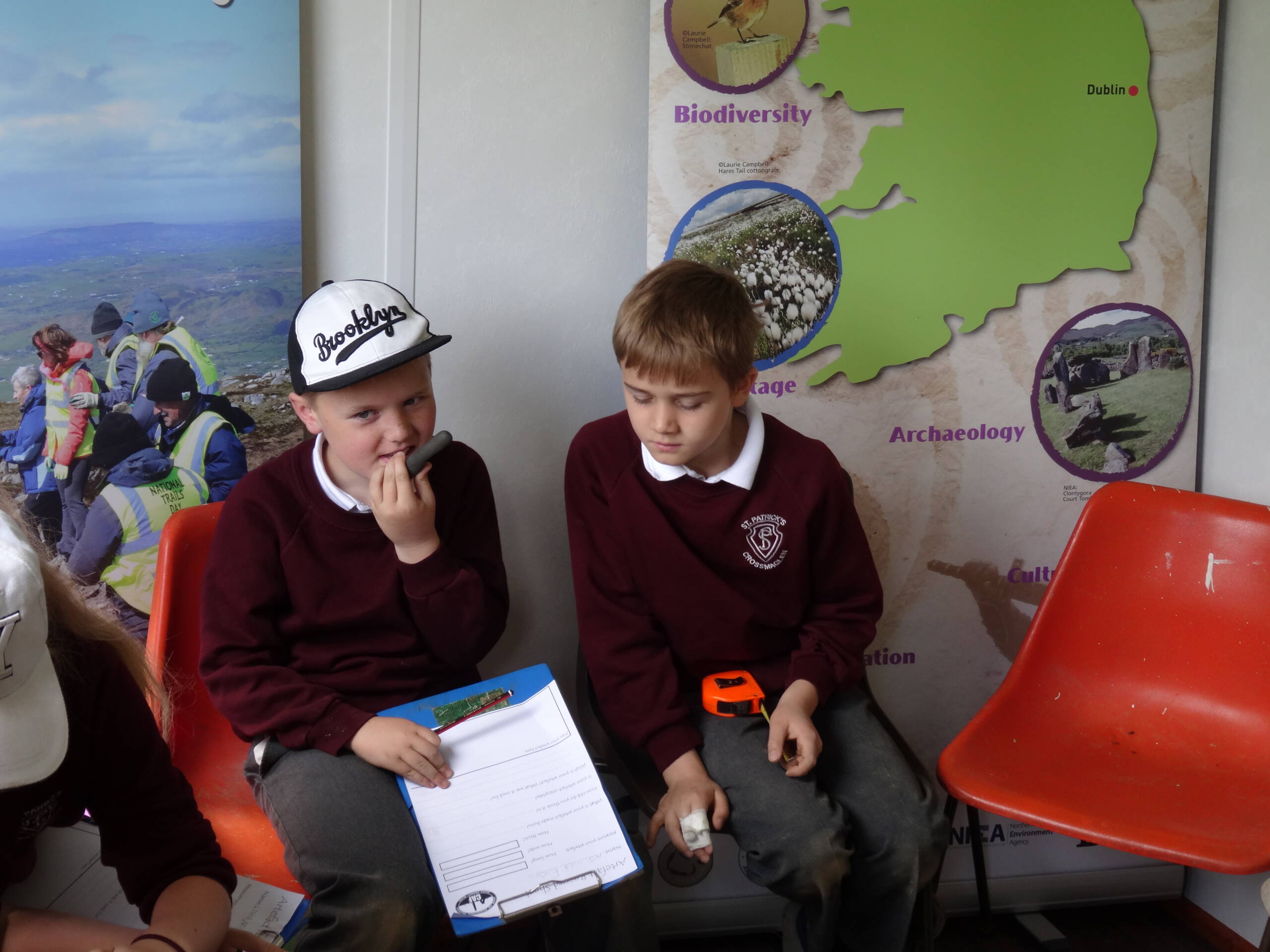
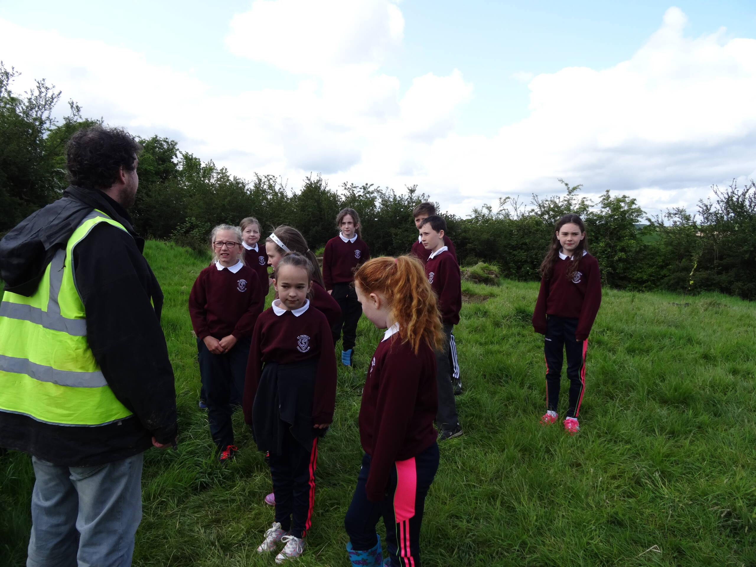
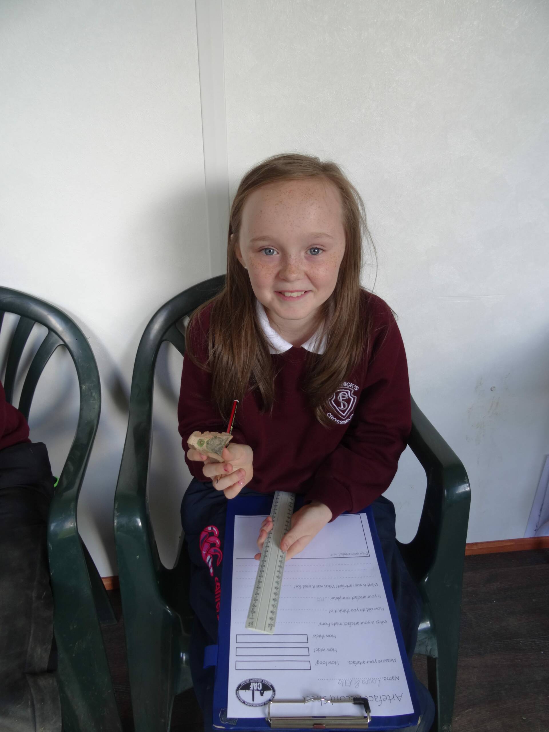
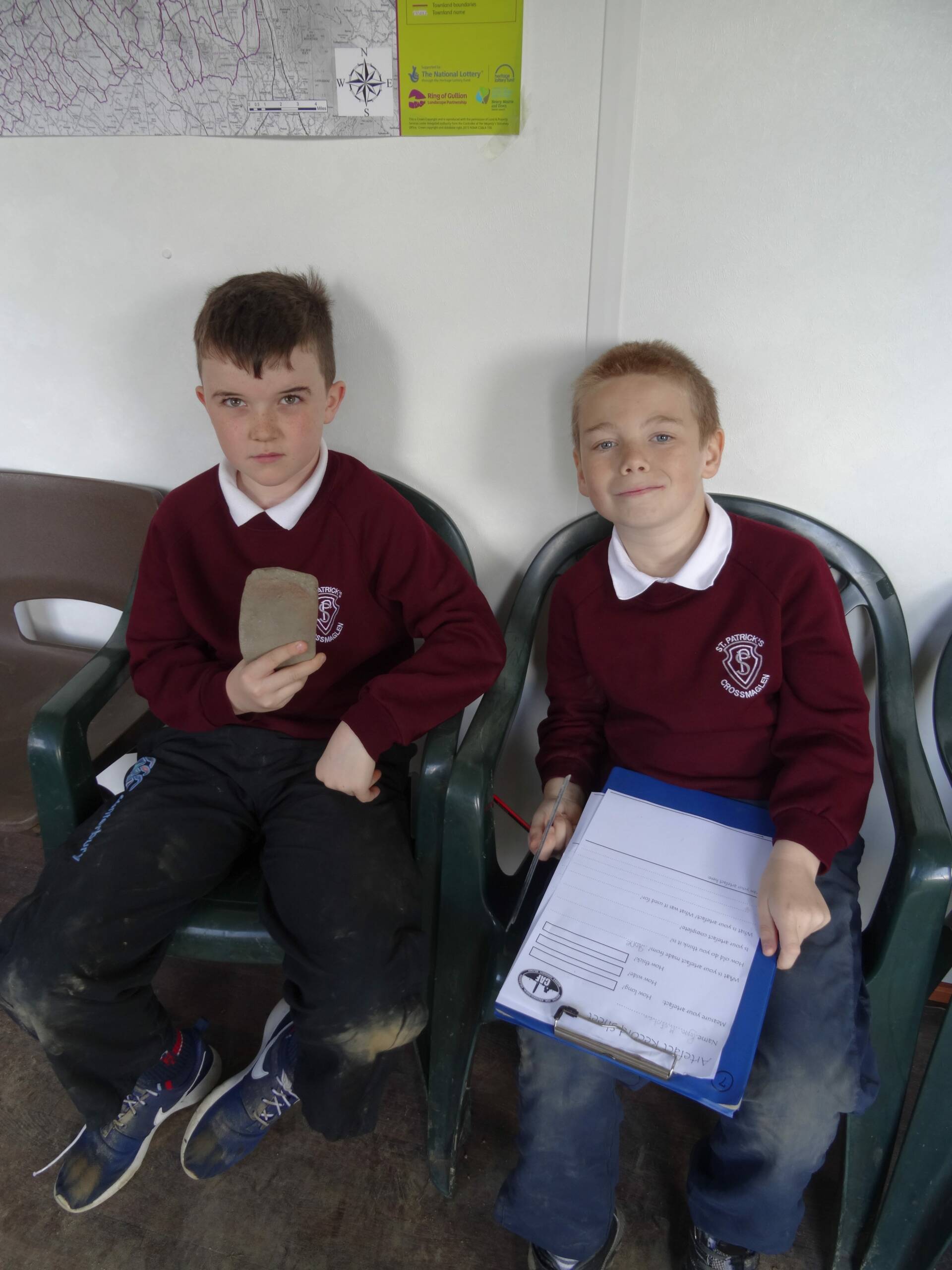
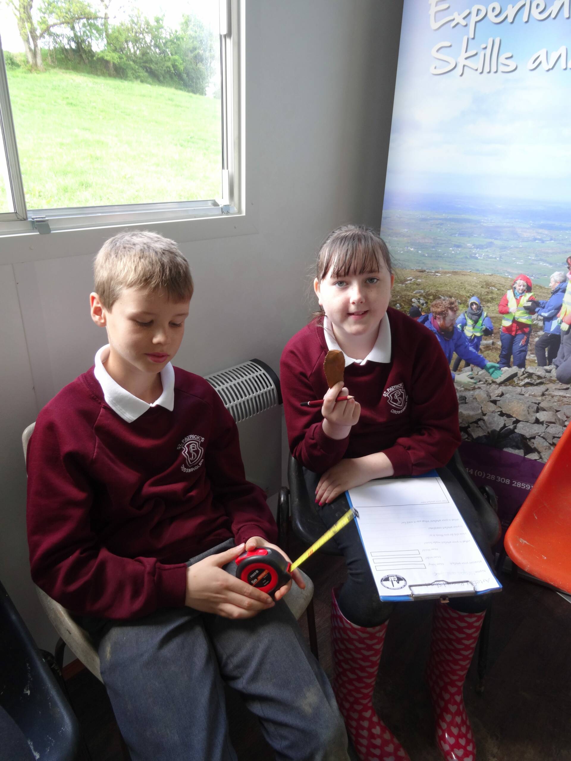
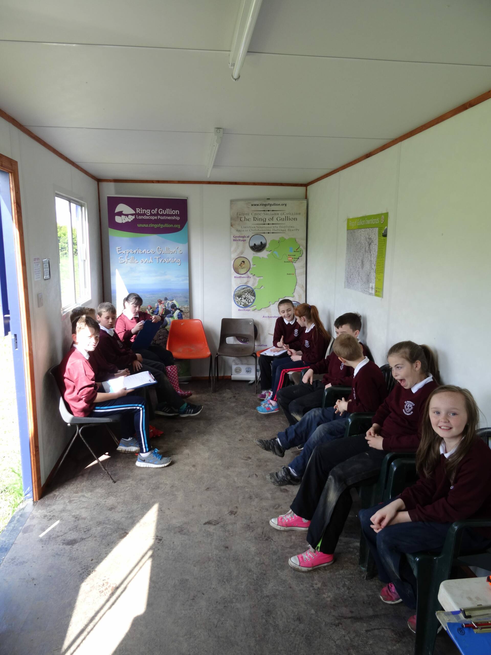
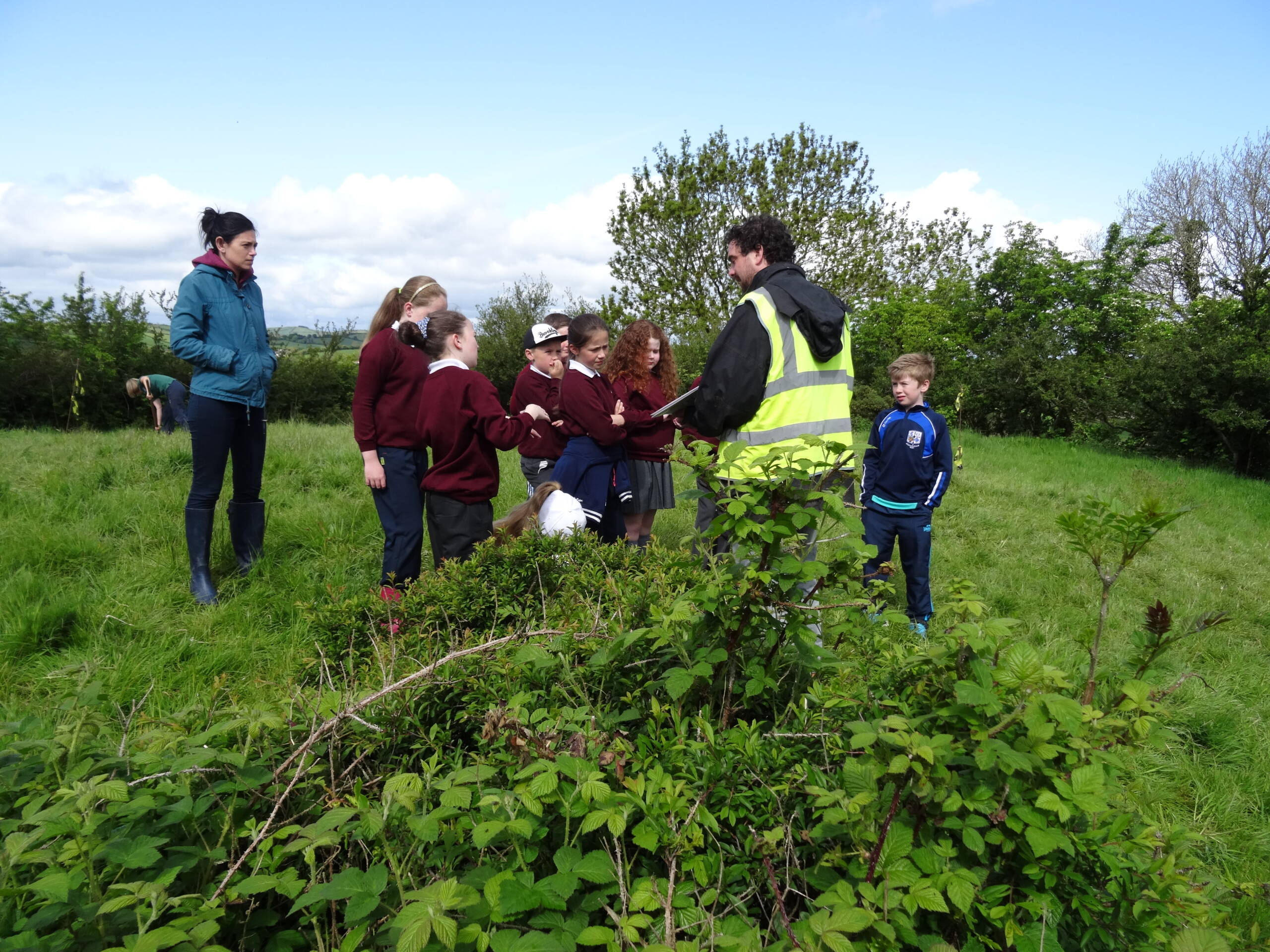
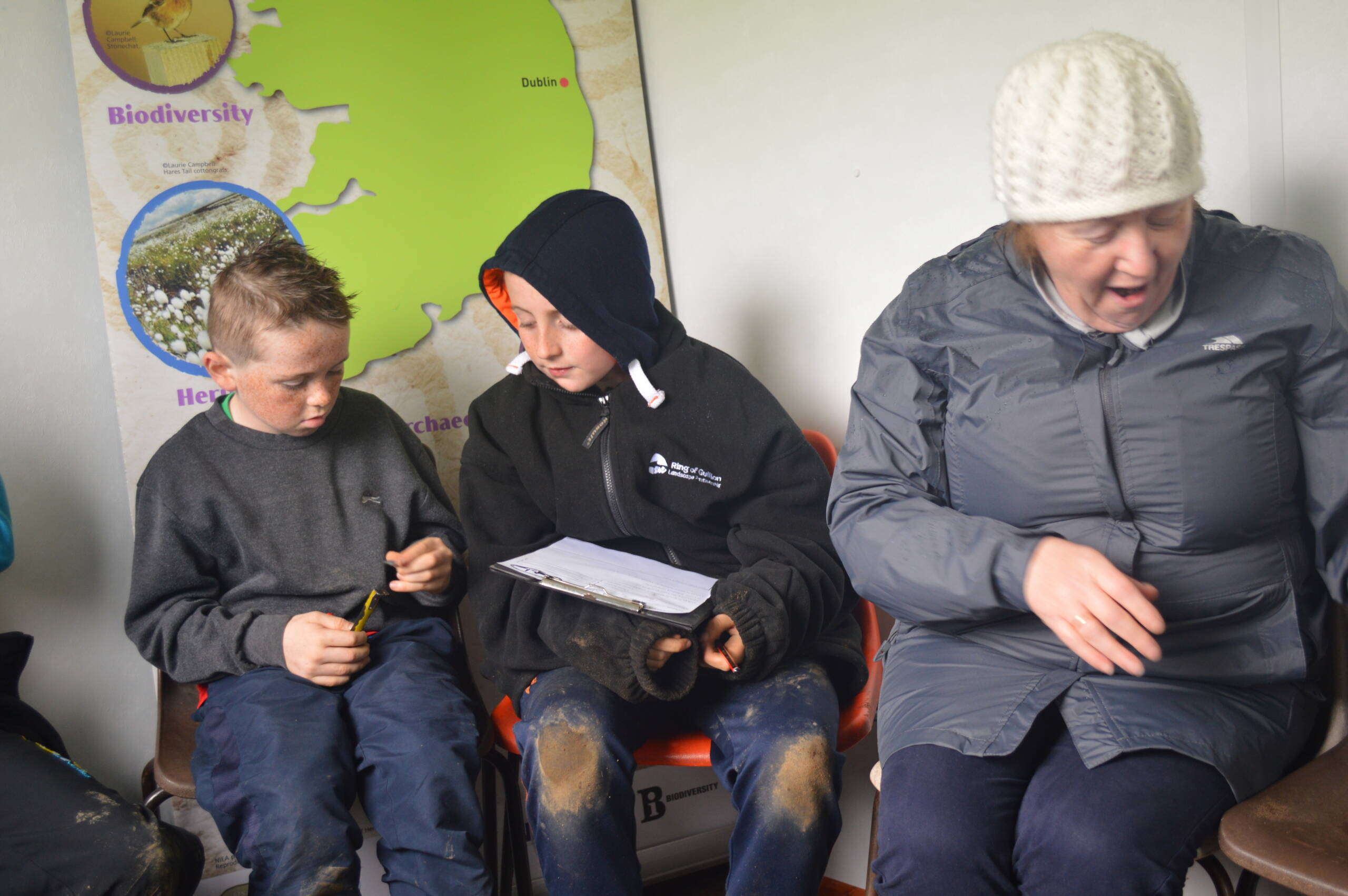
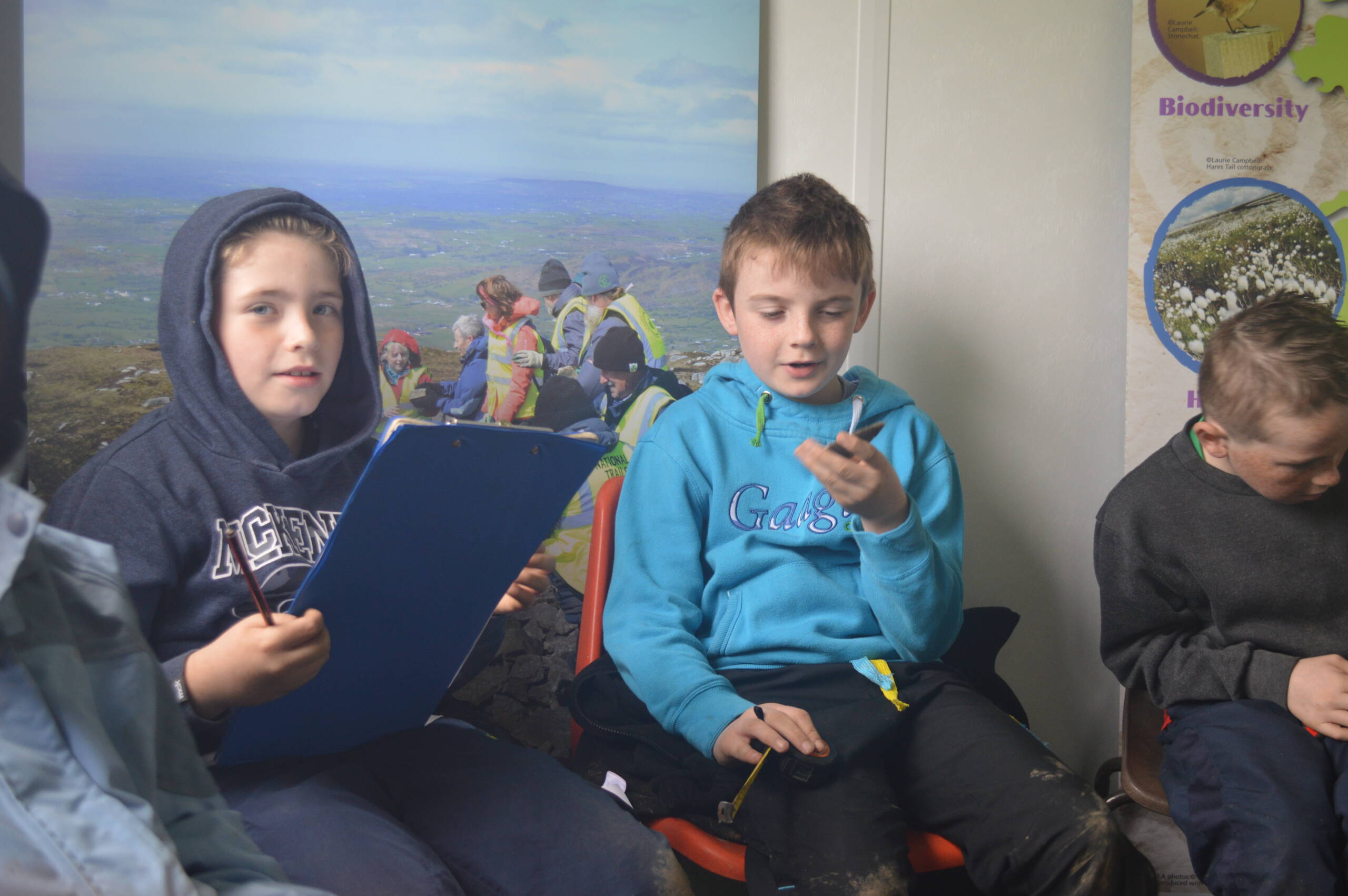
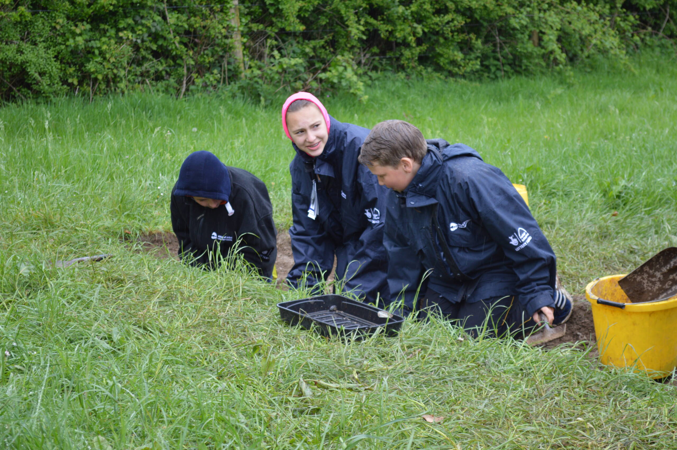
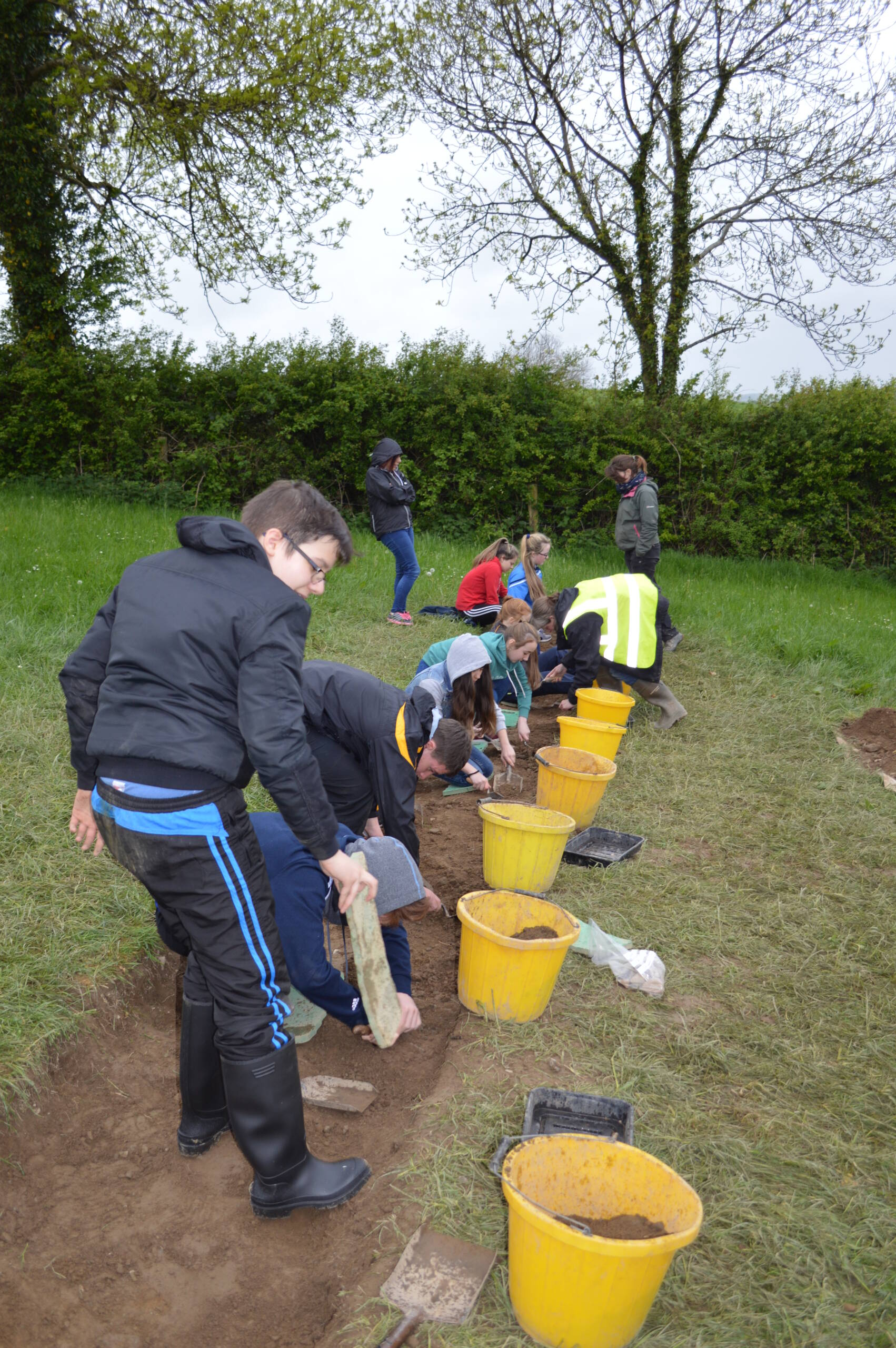
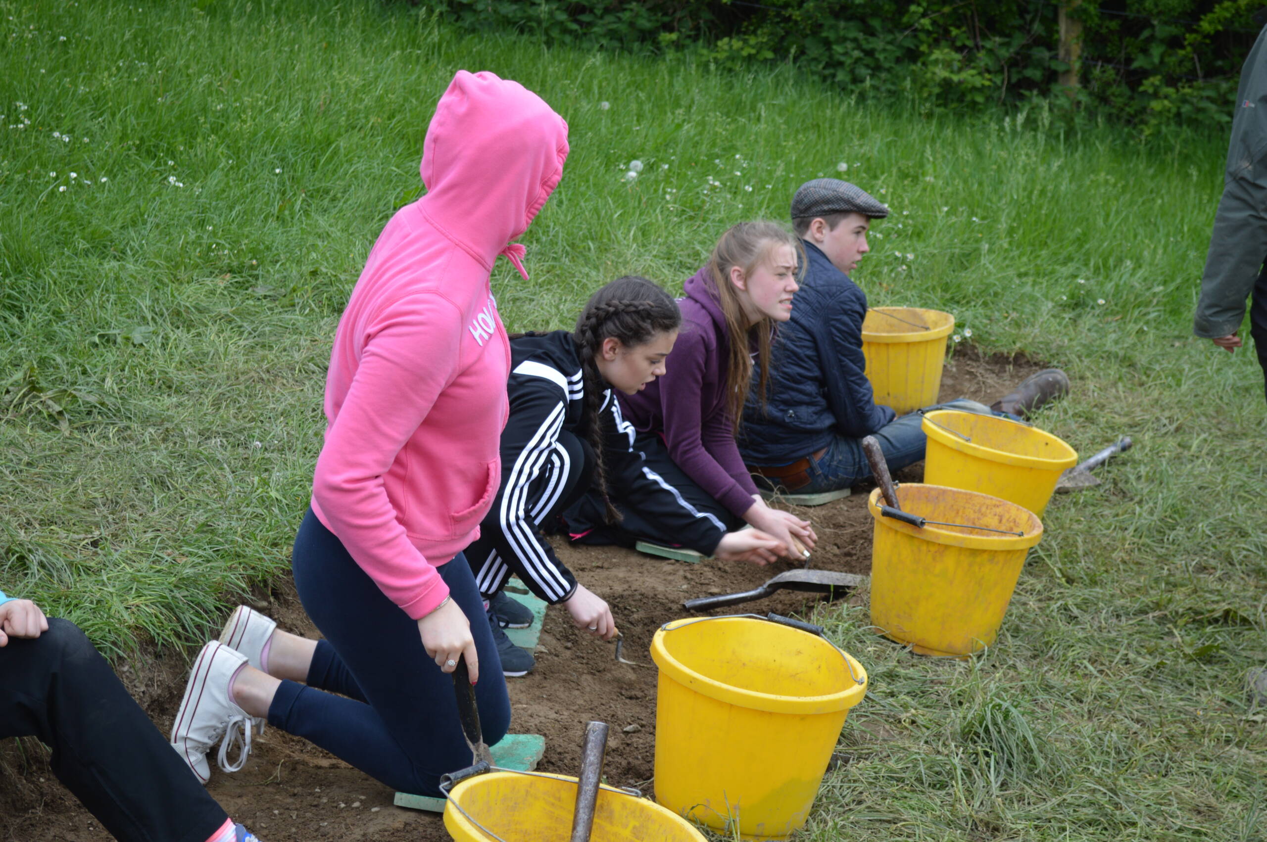
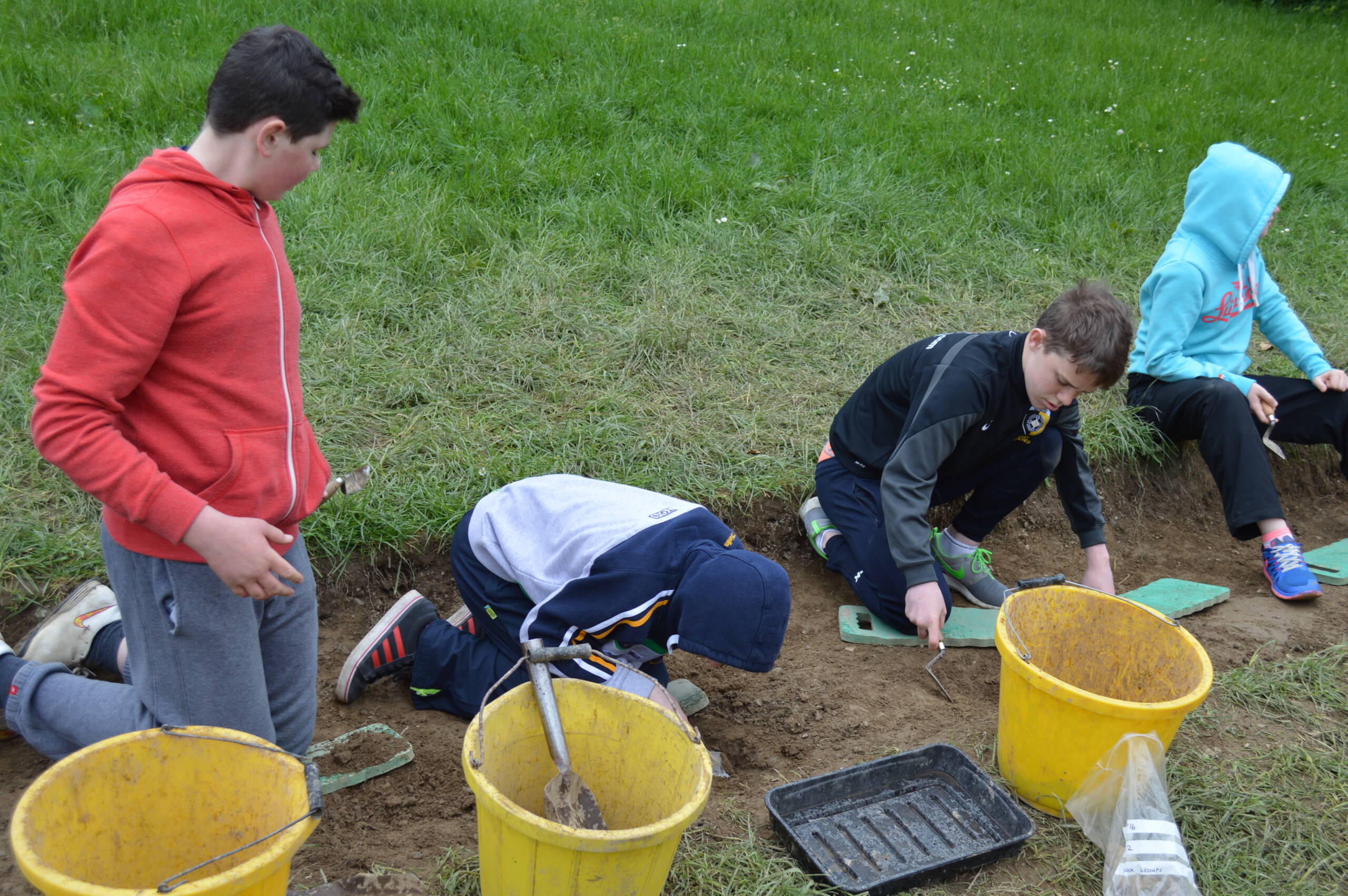
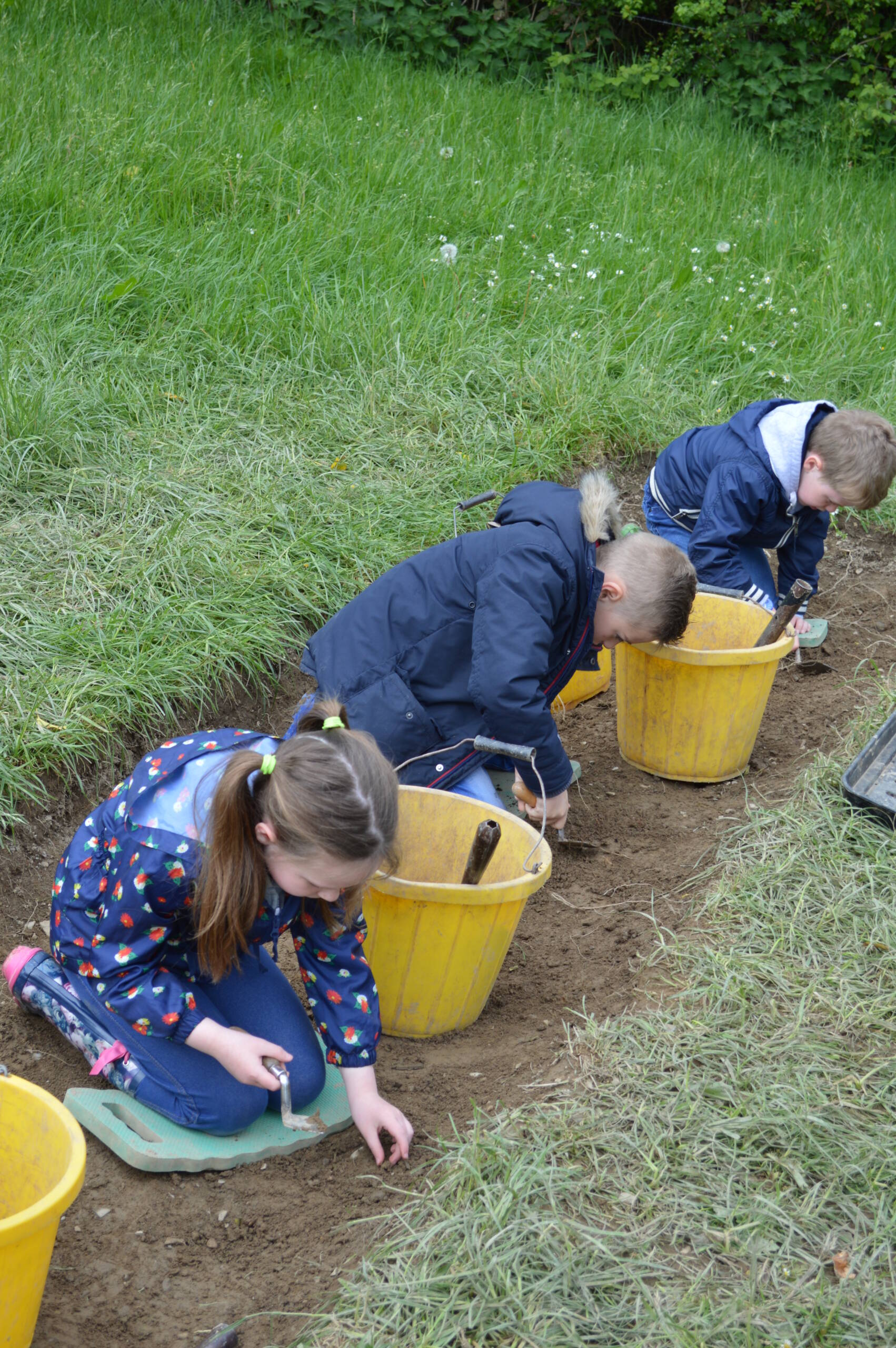
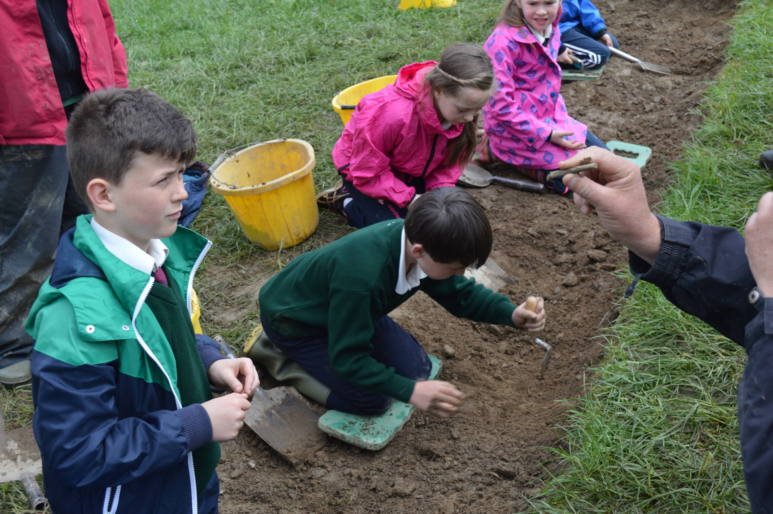
The built heritage surveys will involve workshops on how to carry out remote sensing, field walking surveys, identify features in the landscape, aerial drones, and how to use video equipment to interpret the landscape and compare these with ground level sightings. These surveys will allow community groups to carry out investigations on existing monuments, or ones that have been newly identified. In year two of the project, geophysics mapping of potential dig site will be carried out, and at the end of year three, a community site investigation can begin.
To read more about the project, and keep up to date with its progress click here.


